We are a leading service provider for drone mining and security
solutions in Africa.
Other drone services include;
-Aerial surveying & 3D mapping
-Drill & blast planning & topography engineering
-Asset & infrastructure inspections
-Geotechnical inspection & stucture characterization
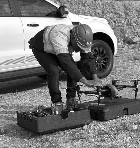
Years of industry experience
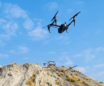
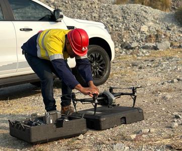
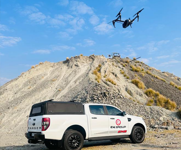
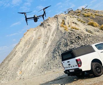
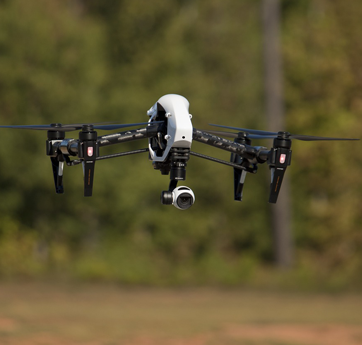
Survey Drones are revolutionising the world of survey instrument sales, as well as the way work is carried out in related industries.
We Fly And Process Drone Imagery Generating Accurate And Detailed Maps. Measure and model in 3D with a professional photogrammetry drones.
Site surveys during construction,As built versus as desinged comparisons.
The speed, size, maneuverability, and additional technologies make UAVs the perfect supplement to ground security.
Drones provide a means of overcoming these obstacles, especially in areas with rugged or impassable terrain. Also, survey drones can cover far more ground much faster than a team of surveyors on foot, drastically saving on operational time and costs. Furthermore, survey drones make use of a variety of surveying instruments, cameras and related devices to enable a host of surveying tasks.
-Aerial surveying & 3D mapping
-Drill & blast planning & topography engineering
-Asset & infrastructure inspections
-Geotechnical inspection & stucture characterization
-Base mapping for site designing
-Site surveys during construction
-As built bersus as desinged comparisons
-Stockpile management
-Production inventory
-Delivery forecasting
Adding to the time saved in the surveying of an area, the software packages which accompany the use of survey drones provide a means of automatically acquiring and implementing data. Whereas traditional survey equipment would require the time taken to collect the data followed by the time taken to record it, drones and computers can handle this seamlessly and simultaneously without those delays.